
Discover Rochester, MN's extensive system of paved trails, spanning more than 85 miles and connecting walkers and cyclists to a blend of urban and natural landscapes. With access to over 100 city parks, as well as historical and natural landmarks, the trail system is a great way to explore Rochester. Here are five things to know to make the most of this amazing amenity in our city:
Plan your trip in advance.
Download a map online here, pick up a printed map from the Park and Recreation Department main office in City Hall, or view one at various trailheads throughout the city.
Trails are open for a variety of uses.
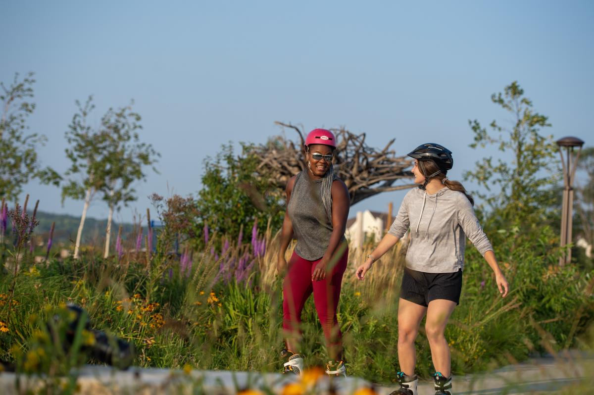
Pedestrians, bicyclists, skaters are all welcome on the trails. They are also stroller and wheelchair friendly.
Try an individual loop or 5K route.
The City of Rochester has a variety of pre-planned loops ranging from under a mile in distance to more than six miles. Browse maps of all 12 loops here. And if you’re training for a 5K race, you’re in luck. The City of Rochester also has 11 routes, each measuring 5K, in different parts of town.
Stop by one of your favorite businesses along the way.
The trail system takes users by many local restaurants and shops. Plan a break or two on your walk or ride by grabbing a meal or shopping local. Check out the Bicycle Benefits program, where local businesses offer discounts or freebies to those who bike there.
Many trails are accessible in the winter.
Stay active year-round! This interactive web map application shows which City-owned sidewalks, trail networks and bike paths are maintained during the winter.
Whether it's embarking on a scenic stroll, a brisk bike ride, or simply enjoying a leisurely winter walk, the trails of Rochester provide an accessible and enjoyable means of experiencing the city year-round. So, lace up your shoes, grab your bike, and enjoy Rochester’s trail system.